


Satellites have been put into orbit for more than 50 years. And today, the enthusiasm and excitement of the early days of space exploration are starting to reappear, thanks to the space renaissance currently underway.
Satellite launches are at an all-time high, but it’s not just the frequency of launches that is impressive.
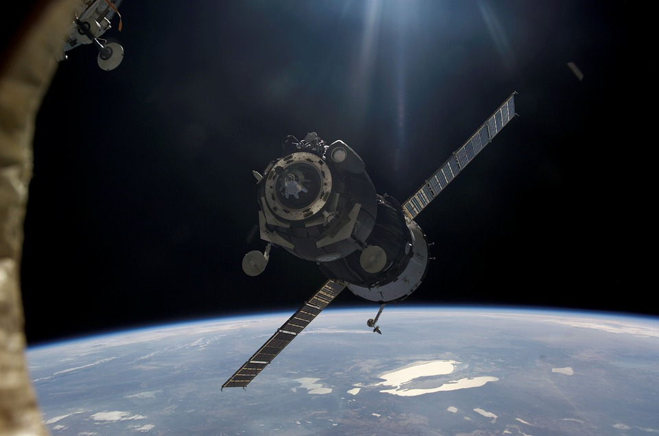
Modern satellite technology is a far cry from the bulky units of the past. Today, many of the satellite launches planned involve petite satellites, barely bigger than a shoebox.
We’re going to look at the technology driving this Earth observation innovation and the possibilities SmallSat imagers open up for us.
Post Contents
What Are SmallSats?
What is SmallSat imager? As the name suggests, SmallSats are extremely small satellites. One of the most widespread formats is the Cubesat.
These petite satellites generally measure about 10x10x10 centimeters and can be combined together to create a multifunctional satellite.
Cubesats are remarkable for making the idea of putting a satellite in orbit accessible to just about anyone.
They’re affordable, versatile, and capable of carrying a variety of different technologies into space. To date, they’ve made use of low power/low gain systems.
However, NASA has announced that it’s working on providing some kind of low-energy propulsion system for them.
This would effectively open up space exploration to talented amateurs and businesses that formerly were unable to afford it.
How Are SmallSats Launched?
Part of the SmallSat revolution is the fact that launches are accessible now.
In the past, satellites were so bulky that a launch would only be designed to carry a single satellite, meaning that financially, these projects needed to be government-funded.
Today, petite satellites have changed all that.
SmallSats are so small and light that a single launch can carry dozens of them into space orbit. This massively decreases the costs.
Another route to launching satellites obviously comes down to national organizations such as NASA.
NASA obviously wants to encourage amateur and private ambitions in space technology and exploration.
That’s why they often make space available on their launches for SmallSats and run competitions to determine which project gets a launch.
The CuPID Project
SmallSats can be applied to a huge range of different tasks. CuPID is a good example. The project is being undertaken with the help of NASA and the US Geological Survey.
Its aim is to put a Cubesat into orbit that is capable of monitoring the magnetosphere.
The magnetosphere is a boundary on the outer edge of the Earth’s atmosphere and marks the point at which the Earth’s magnetic field starts to interact with the magnetic field of the sun.
Not a huge amount is known about this barrier, except that it protects us from some of the more harmful rays of the sun, though it does occasionally let in solar radiation that could be harmful to satellites or astronauts.
By monitoring and studying it, scientists hope to learn more about the magnetosphere. To do this, they’ve created a purpose-built satellite camera to view x-rays with a wide field of view.
The project has taken 15 years to develop and is a good demonstration of the high risk/high reward concept behind SmallSats.
As a lightweight satellite, it’s unable to propel itself and easy to become damaged or destroyed.
However, if successful, it promises to play an important role in advancing our understanding of the magnetosphere.
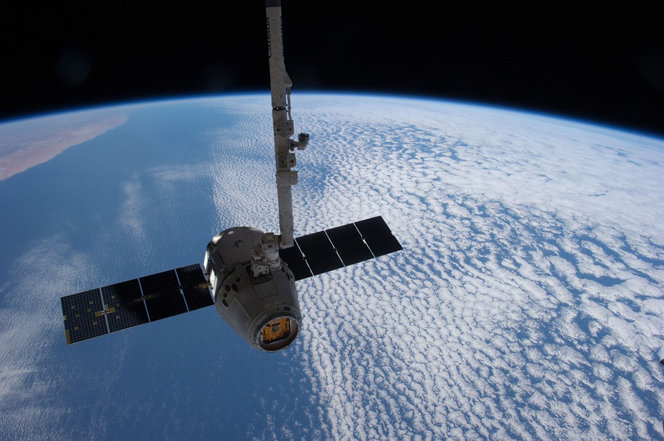
Satellite Imagery
How does SmallSat imager work? By taking high resolution-photos in sections, reassembling them, and broadcasting to a station via radio waves.
CuPID is just one of the many specialized cameras put into orbit around our planet.
In fact, along with communications and media, cameras form a huge proportion of the satellites in our skies.
Thanks to the affordability of SmallSats, people are now able to benefit from cameras specialized to a particular job.
Obviously, straightforward images for services like Google Earth are one use. But there are many other ways that satellite images are changing life on Earth.
Farmers are able to use SmallSat imagers to plant their crops in the greenest way possible.
And disaster responders have learned how to use the SmallSat imager to get an immediate overview of a damaged area.
They’re also crucial for environmental monitoring, letting us keep track of climate change.
Conclusion
Space technology is back in the public eye, and progress is being made at the fastest rate since the Cold War. SmallSats are a crucial part of this progress.
They’ve made space available to individuals and organizations with projects that can make a real change to how we live our lives.
Who can say what new innovations we can look forward to in the future?