


A new space race unfolds, and it is no longer a competition between the major space states. The modern space age is characterized by the growing participation of the commercial sector and developing nations. As space becomes more accessible due to the dropping launch costs and advanced technology, even colleges can send their own small satellites into space, ‘piggybacking’ large missions.
The commercialization of low Earth orbit fuels the growth of the space services sector, especially satellite-based communications, Earth observation, and navigation, increasing the benefits gained by Earth-based businesses. Government agencies increasingly turn their glances to near-Earth space, investing in the exploration of Mars and the Moon.
Post Contents
Space Technology Among Us
Though far, space is all around us: it’s here when we visualize routes in Google Maps, take selfies, or work on laptops. Few know that a lot of what has already become routine was originally invented for or through space exploration.
For example, CMOS technology was developed for space cameras taking Earth pictures from space. Thanks to its domestication, not only can we find most recent satellite images for free and explore our planet but we can also have a pocket-sized camera in our smartphones anywhere we go.
Currently, this technology underlies the majority of digital imaging devices and services used on daily basis. Another example is GPS, an invention made for military purposes, which is now heavily used for ordering a taxi, tracking the location of family members or package delivery tracking, and a handful of other routines.
Accessible Free Satellite Imagery
Satellite data as a service is another field that has gained momentum in the new space era. The application of satellite imagery acquired by spacecraft expanded from purely scientific and revolutionized many industries, such as agriculture and forestry, oil and gas, natural disaster management, construction monitoring, and others.
Moreover, thanks to open-access space data programs a wealth of free satellite images of Earth is now available to private companies and individuals via digital platforms. Earth observations acquired by optical and radar satellite sensors provide valuable up-to-date information about land cover, enabling the monitoring of crop growth and deforestation, detection of wildfires and oil spills, and measuring greenhouse gas emissions as well as other drivers of climate change.
The platforms where you can access up to date satellite images free of charge vary in the scope of available image data, data manipulations, and complexity of use.
USGS EarthExplorer contains a plethora of space- and airborne imagery and digital maps coming from public missions like Landsat or MODIS and commercial ones. IKONOS and OrbView datasets represent high resolution satellite imagery free for downloading.
Users can find, visualize and download the available image data. Earthdata Search by NASA offers the same set of options for years of NASA’s Earth image acquisitions from ENVISAT, NOAA, Nimbus, CALIPSO, and GIS datasets.
Copernicus Open Access Hub and Sentinel Hub focus on data coming from the Sentinel space program. The first one is tailored to developer needs and requires either API or text query to search and save images.
The second one provides a user-friendlier interface via its EO Browser, where more free satellite imagery on top of Sentinel can be found, visualized, and analyzed. EOSDA LandViewer is a digital satellite-driven tool that hits the sweet spot.
Its intuitive interface facilitates access to a variety of satellite imagery and enables on-the-fly analysis on top of visualization. Users can search satellite pictures of their area of interest across dozens of datasets, including low to medium-resolution Landsat, Sentinel, CBERS, MODIS, or commercial KOMPSAT, Gaofen, and SuperView high resolution satellite images free for preview.
The tool also allows running custom remote sensing analysis, change detection, and building time series to turn images into actionable information.
Starlink Satellites
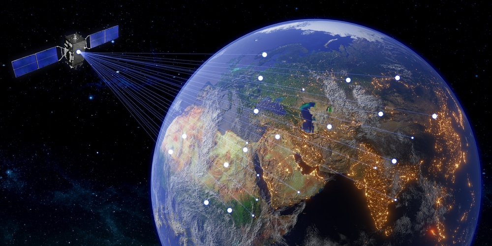
SpaceX’s Starlink constellation of satellites is at the forefront of another fast-developing space market segment – communications. Starlink is a project that aims to create a worldwide broadband Internet network, especially crucial for isolated Earth areas.
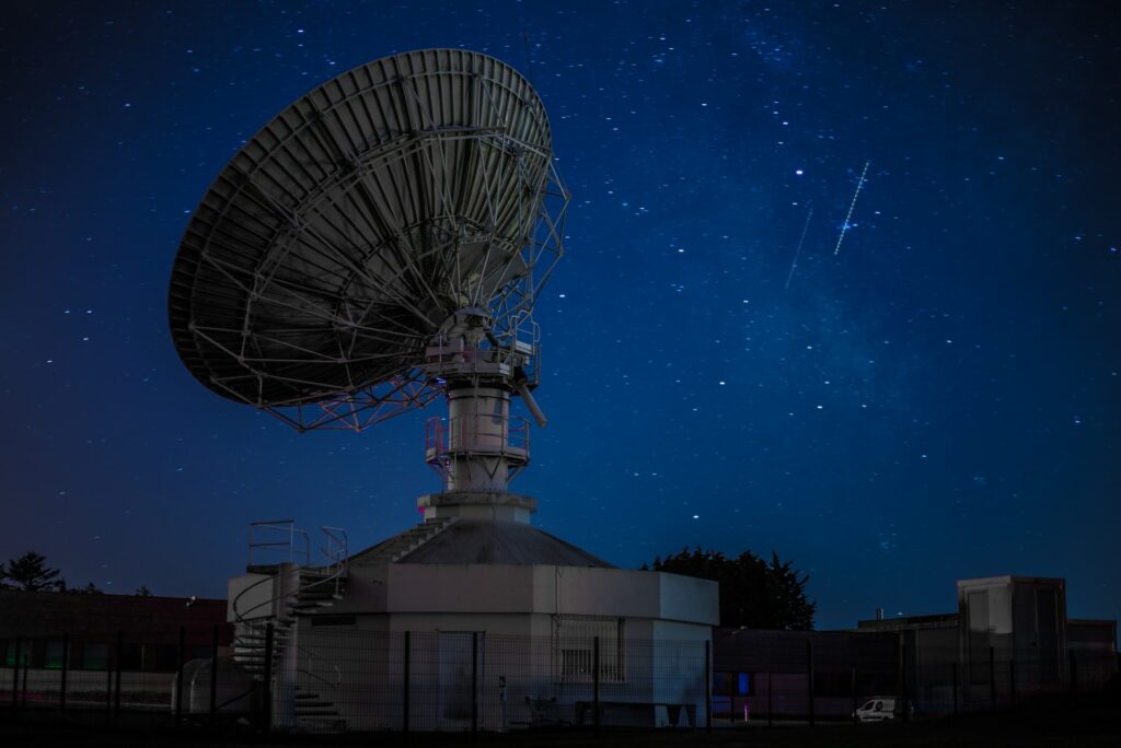
The plan is to deliver satellite Internet service with low latency thanks to the low Earth orbit (LEO) positioning of a great number of miniature satellites (42,000, according to the plan) that would receive and transmit radio signals back to ground stations on Earth.
Currently, there are 3,236 operating Starlink satellites in space. The highest Internet speed registered as of date is 160 Mbps and Starlink aims to double it in the nearest future.
First Satellite Swarm For Agriculture
A boom in smallsat constellations keeps transforming the space industry, allowing for field-specific space missions. EOS Data Analytics, the global provider of satellite imagery analytics, is planning to launch the first agriculture-focused swarm EOS SAT consisting of 7 optical smallsats in low Earth orbit by 2025.
EOS SAT will capture panchromatic (1.4m/pixel) and multispectral (2.8m/pixel) images of agricultural and forest lands at an interval of 5-6 days, with the possibility of daily tasking. On top of satellite launch and imagery collection, the company will also provide comprehensive analytics and custom solutions based on agri-specific satellite data.
With this data, agribusinesses will be able to improve crop growth monitoring and detection of field areas threatened by infestations, diseases, weather-related stress, etc. For farmers, it will translate into accurate vegetation and productivity maps for the optimal use of pesticides and fertilizers, while input suppliers can efficiently test new products.
Crop classification, field boundary detection, soil moisture analysis, and other vegetation-related tasks can all be taken to the next level with EOS SAT satellite data insights. The new space era is dominated by the private sector and booming miniature LEO satellite launches.
High-speed space Internet facilitates communication in remote areas, while up-to-date satellite imagery supplies valuable information about the state of Earth’s surface. Altogether, the new stage of space exploration is more about collaborative progress for the benefit of Earth and the people rather than the competition between superpowers.